Blog post about a new #nodegoat Guide: Use any @IIIF Published Map as a Background in your Geographic Visualisations
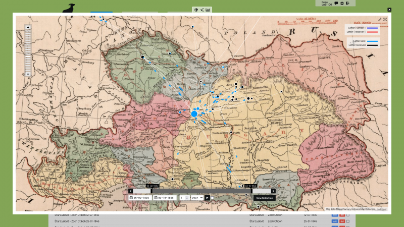
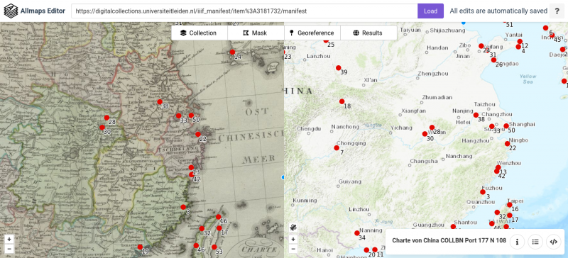
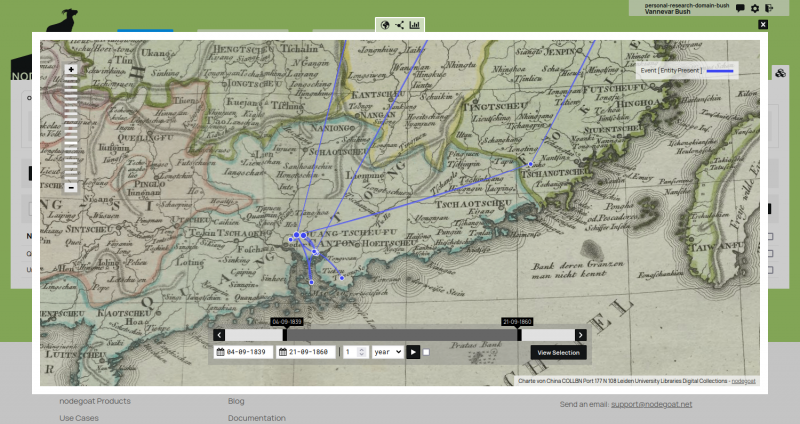
Thanks to the Allmaps (https://allmaps.org) project, it is now possible to use any map that has been published as a #IIIF image as a background map in your geographic data visualisations in #nodegoat.
The updated #nodegoat Guide 'Use a Historical Map' describes the steps you need to take to use #IIIF images as a background map. The Guide uses an example of a historical map published by the @CDSLeiden of @ubleiden
#digitalhistory #histodons #maps #DigitalHumanities #dataviz @histodons
