Use any IIIF Published Map as a Background in your Geographic Visualisations

CORE Admin
Map from the David Rumsey Map Collection, published as a IIIF image. The image has been georeferenced with the Allmaps editor, and the map tiles are generated by the Allmaps Tile Server. Click here to explore this interactive visualisation.

Thanks to the Allmaps project, it is now possible to use any map that has been published as a IIIF image as a background map in your geographic visualisations in nodegoat.

The International Image Interoperability Framework (IIIF) is a set of open standards for publishing digital objects, maintained by a consortium of cultural institutions. The list of institutions that publish their digitised maps as IIIF images is constantly growing. This overview provides a number of examples of available resources. The David Rumsey Map Collection also contains a large number of maps that have been published as IIIF images.

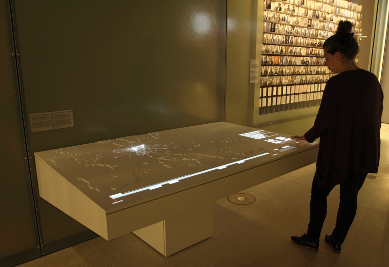
nodegoat Users have been able to use (historical) maps that are published as XYZ-tiles. We have now updated our Guide 'Use a Historical Map' to describe the steps you need to take to use IIIF images as a background map for your geographic visualisations in nodegoat. The Guide uses an example of a historical map published in the Digital Collections of Leiden University Libraries.

Continue readingComment

Members of the US House of Representatives - Wikidata

CORE Admin

The following interactive visualisation explores the movements of 10.896 Representatives of the United States Congress, from Roger Sherman's birth in 1721 up until all its members in 2015. The Representatives move from their place of birth to their place of education and finally to their possible place of death. Click here to open the interactive visualisation.

Last April, we gave a talk at the tenth Historical Network Research workshop in Düsseldorf about the 'Reversed Classification' functionality in nodegoat. To illustrate what you can accomplish with this functionality, we queried Wikidata to get a dataset of all the members of the US House of Representatives, including their date and place of birth and death, their professions, and the institutes where they took their education. We used this data to perform a reversed classification process that groups the representatives into career politicians or politicians with a heterogeneous career. From there, you could start looking at geographical patterns or educational backgrounds of these groups. See a graph of this network with these two 'career' nodes included here (canvas).

The diachronic geographical visualisation of all this data in nodegoat turns out to be a nice bonus.

Continue readingComment

nodegoat as an Interactive Museum Installation: 20.000 letters visualised through time and space

CORE Admin
The installation is located in the first section of the permanent exhibition. The wooden table has a cut-out (elevated) map of Europe as its surface. The visualisation is projected by a Barco F35 projector (WQXGA resolution). Visitors can interact with the installation by means of capacitive sensors.

We have developed an interactive installation for the new GRIMMWELT museum in Kassel, Germany. The installation visualises and lets visitors freely interact with the full correspondence network of Jacob and Wilhelm Grimm, involving a total of 20.000 letters and 1400 correspondence partners in a timespan of 80 years. The dataset of letters has been created by the Arbeitsstelle Grimm-Briefwechsel at the Institut für deutsche Literatur of the  Humboldt-Universität zu Berlin. We have developed the visualisation in cooperation with SPIN: Study Platform on Interlocking Nationalisms at the University of Amsterdam.

The installation implements a new geographical visualisation mode 'Movement' in nodegoat, in addition to the already available line-based 'Connection' mode. The Movement mode uses WebGL rendering (GPU) to animate large collections of objects smoothly. This mode also allows for a wide range of configuration parameters to finetune the visualisation to various scenarios. Due to the open and generic nature of nodegoat, we can now make use of the Movement mode for any other relevant dataset.

This short clip shows the new visualisation mode from within nodegoat:


A high resolution 1440p version of this clip is available here.[....]

Continue readingComment