Mapping Visions of Rome
CORE Admin
Susanna de Beer (LUCAS, Leiden University) As part of a book project I was looking for a database environment in which I could organize and annotate a collection of (Renaissance) Latin poetry related to the city and symbol of Rome. When I came across nodegoat via de project ‘Mapping Nodes and Notes in Networks’ I immediately realized that this was what I needed. In nodegoat I could create exactly the kind of database structure I had in mind, and could benefit from the built-in chronological and geographical visualization options.
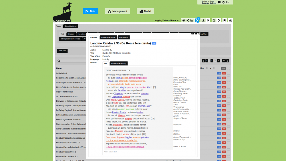
In Mapping Visions of Rome I can annotate the full text of my primary sources according to the elements of the Roman legacy they refer to and include information about these sources that place them in a specific historical and artistic context (also by linking dynamically to other resources). The annotations not only help me to understand the individual texts better, but also allow me to navigate through my material from different perspectives, in order to trace, for example, a specific Roman monument, literary motif or person, identify works that have been made within the same patronage network, or look for chronological or geographical trends.
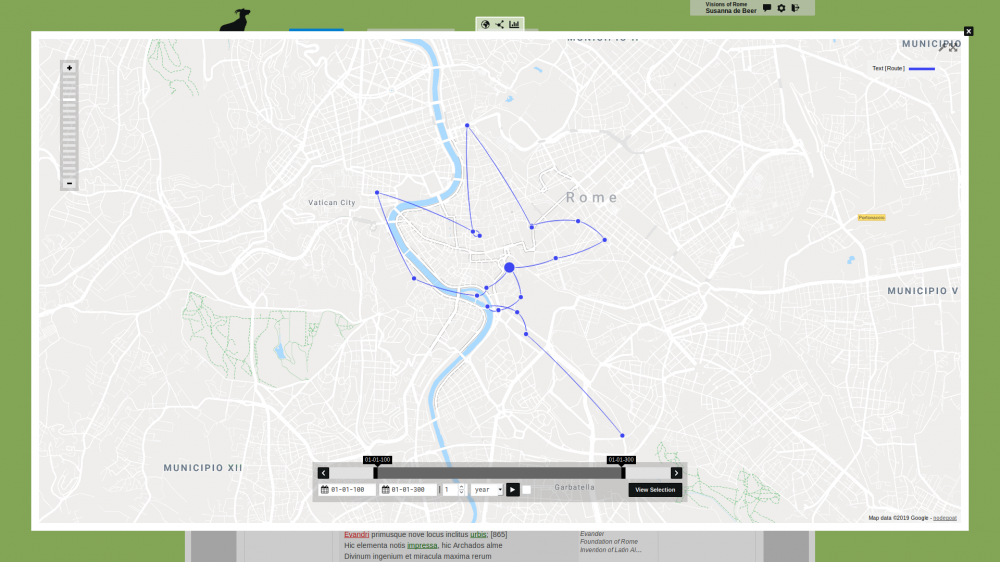
Since these poems often concern specific locations, the geographical visualization is especially useful and attractive. Numerous Renaissance poets included literary walks through Rome in their works, modelled on a famous passage in Virgil’s epic poem, the Aeneid. Using nodegoat I reconstructed a selection of these walks on the map of Rome, showing that these poets were not only interested in literary imitation, but also invested in a correct rendering of the topography of Rome.
This project has been funded by a VENI grant of the NWO (Netherlands Organisation for Scientific Research), LUF (Leiden University Fund) and NIAS (Netherlands Institute for Advanced Study in the Humanities and Social Sciences).
Project Website: digitalromanheritage.com/mapping-visions-of-rome/
Public User Interface: rome.nodegoat.net
